
Business Details
Expert Land Surveying Services in Burgess Hill
At J D Surveying, we deliver professional and efficient surveying and engineering services across the South East of England and throughout the UK. Our team combines technical expertise with a commitment to precision, ensuring clients receive tailored solutions for both small domestic projects and large-scale commercial developments. With advanced technologies such as 3D laser scanning and drone surveys, we provide detailed topographical and building surveys, site engineering, and GPS mapping.Our focus on accuracy extends to as-built and volume surveys, supporting planning permissions, boundary resolutions, and construction projects. Client satisfaction is central to our approach, reflected in our prompt delivery of high-quality drawings and collaborative work with architects and builders. Backed by positive testimonials, we maintain a reputation for reliability and competitive pricing, ensuring projects progress seamlessly from initial surveys to final execution.
Services
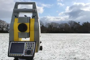
Topographical Surveys
Measured Building Surveys
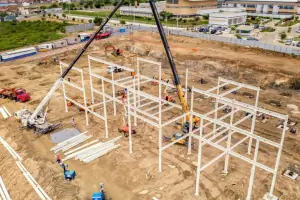
Site Engineering
3D Laser Scanning
Drone Surveys
As-built Surveys
GPS Surveys
Volume Surveys
Monitoring
Highlights and features
- We offer tailored surveying solutions for domestic and commercial projects.
- Our team utilises advanced 3D laser scanning and drone technology.
- Accurate site engineering and GPS surveys ensure project precision.
- Competitive pricing with prompt delivery of detailed survey drawings.
- Proven track record with positive client testimonials for reliability.
What people say
Professional and high quality service
Competitive price
Detailed drawings
Prompt delivery
Worked well with the team
Services
Topographical Surveys
We conduct detailed topographical surveys to map land features and elevations. These surveys support planning permissions, boundary disputes, and development projects. Our tailored approach ensures accuracy for sites ranging from small properties to large farmland areas.
3D Laser Scanning
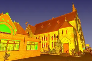
Using advanced laser scanners, we capture precise 3D data to create point clouds and models. This technology enables accurate elevation drawings, floorplans, and sections, essential for complex architectural and engineering projects requiring high detail.
Drone Surveys
Our drone surveys provide aerial imagery and topographical data for large sites. Applications include volumetric analysis, building inspections, and 3D mapping. This method ensures efficient data collection with minimal site disruption.
Site Engineering
We establish precise site control, datums, and gridlines for construction projects. Our services ensure features are positioned accurately to millimetre tolerances, facilitating smooth project execution and compliance with design specifications.
As-built Surveys
As-built surveys document the exact position of constructed elements. These surveys are vital for updating records, verifying compliance with designs, and planning future modifications, ensuring long-term project accuracy and usability.
Questions
What areas do JD Surveying cover?
We operate across the South East of England and throughout the UK, providing surveying services for diverse geographical locations.
What types of surveys do you offer?
Our services include topographical surveys, 3D laser scanning, drone surveys, site engineering, as-built surveys, GPS mapping, and volume monitoring.
How do drone surveys benefit my project?
Drone surveys enable efficient, large-area mapping with minimal disruption, providing aerial imagery, volumetric data, and 3D models for planning and analysis.
How quickly are survey results delivered?
We prioritise prompt delivery of accurate drawings, typically completing and sharing results shortly after on-site work concludes.
Are your surveys accurate for construction projects?
Yes, our site engineering and GPS surveys ensure millimetre-level accuracy, critical for construction alignment and compliance with design specifications.